
Project Profile:
Daniel Boone National Forest
Project Summary
In one area the water chose the path of least resistance so it went to the inside edge of the mat on curves, but didn’t erode the path itself. They had a lot of rain this spring and the water rose several feet higher than the current level of the creek at the bottom of the trail. Our thick fabric backing and crossbars in a modified GV2 are necessary.
Address
N.A.
Install Size
N.A.
Designer
National Park Service
Contractor
Daniel Boone National Park staff, Stearns Ranger Station, McCreary County, Ranger Laurie Smith
Project Gallery

Stearns Ranger Station sign, McCreary County. Drive north of this location to the Flat Rock Baptist Church on right to find forest service road.
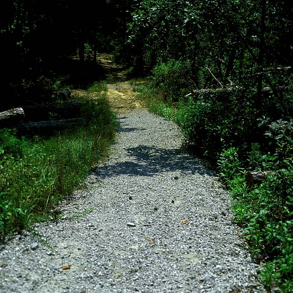
The locations of Gravelpave2 have gravel fill in the rings like shown here on a slope. This will give good traction and minimize erosion.
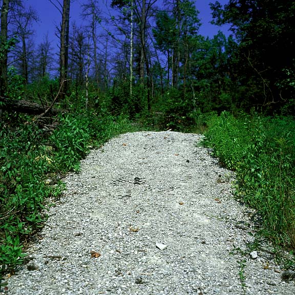
Looking back up the hill it is possible to see more rings than looking downward.
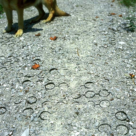
Close up of the rings and the gravel fill.

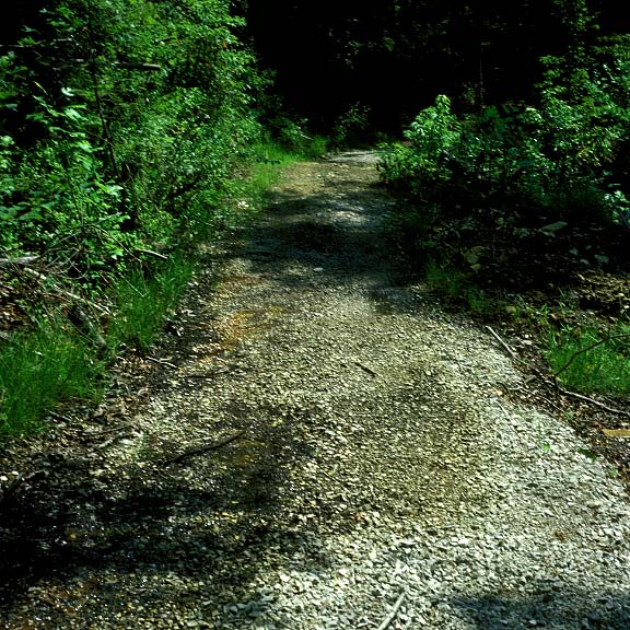
Another location of GV2 which will stop the erosion that is so prominent on the side banks of the path, over three feet in some areas.
A culvert was installed across and underneath the GV2 path so that drainage wouldn’t wash out the path.
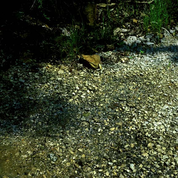
Close up of small spring area where water seeps into the GV2 path but doesn’t disturb the surface with any erosion.